Tuesday, October 13, 2026 · 6:30 PM Bahamas time
The Bahamas Islands Briefing · Part 2 of 5 · The Southern IslandsLong Island businesses say the mailboat left them with half their orders or nothing at all. Plus Inagua, Mayaguana, Acklins and Crooked Island, Ragged Island, Cat Island, San Salvador and Rum Cay.
Inagua: the bottom of the country
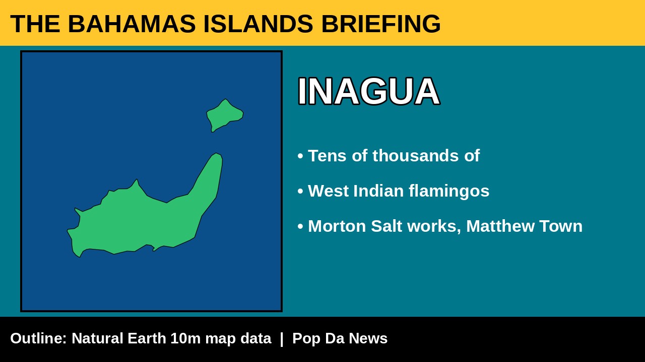
We start at the very bottom of the country. We searched local outlets and found no new Inagua headlines from the past day, but the island appears in a national story. Our News reports that the Bahamas Project for Marine Conservation has assessed 70 marine protected areas across the country. Partners from Inagua joined workshops in Nassau, along with Abaco, Andros, Eleuthera and Grand Bahama, and a final workshop is planned for the end of October.
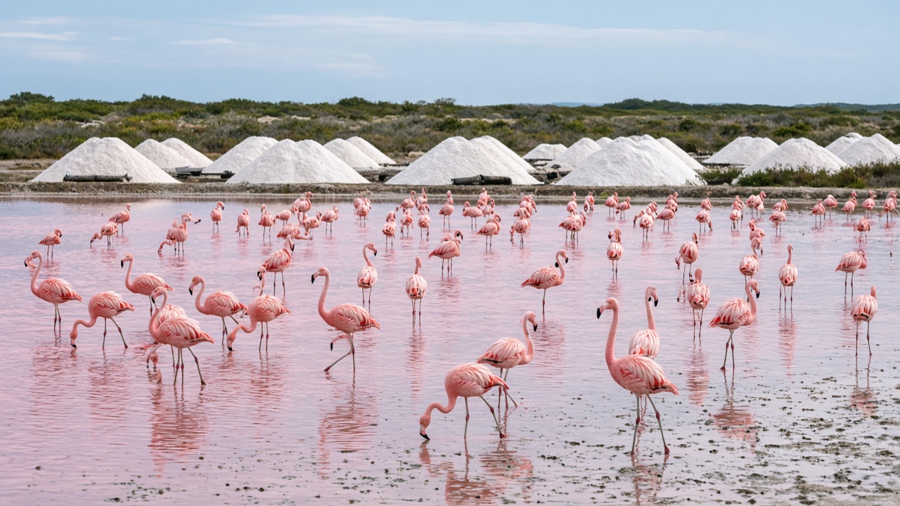
Inagua is famous for flamingos. Inagua National Park is home to one of the largest breeding colonies of West Indian flamingos in the world, tens of thousands of birds. Then there is the salt: the Morton Salt operation near Matthew Town, with its ponds and white mountains of salt. CruiseMapper lists a visit by the expedition ship Viking Polaris on October 30. Inagua is remote, so book park tours through the Bahamas National Trust and bring binoculars.
Mayaguana, Acklins and Crooked Island
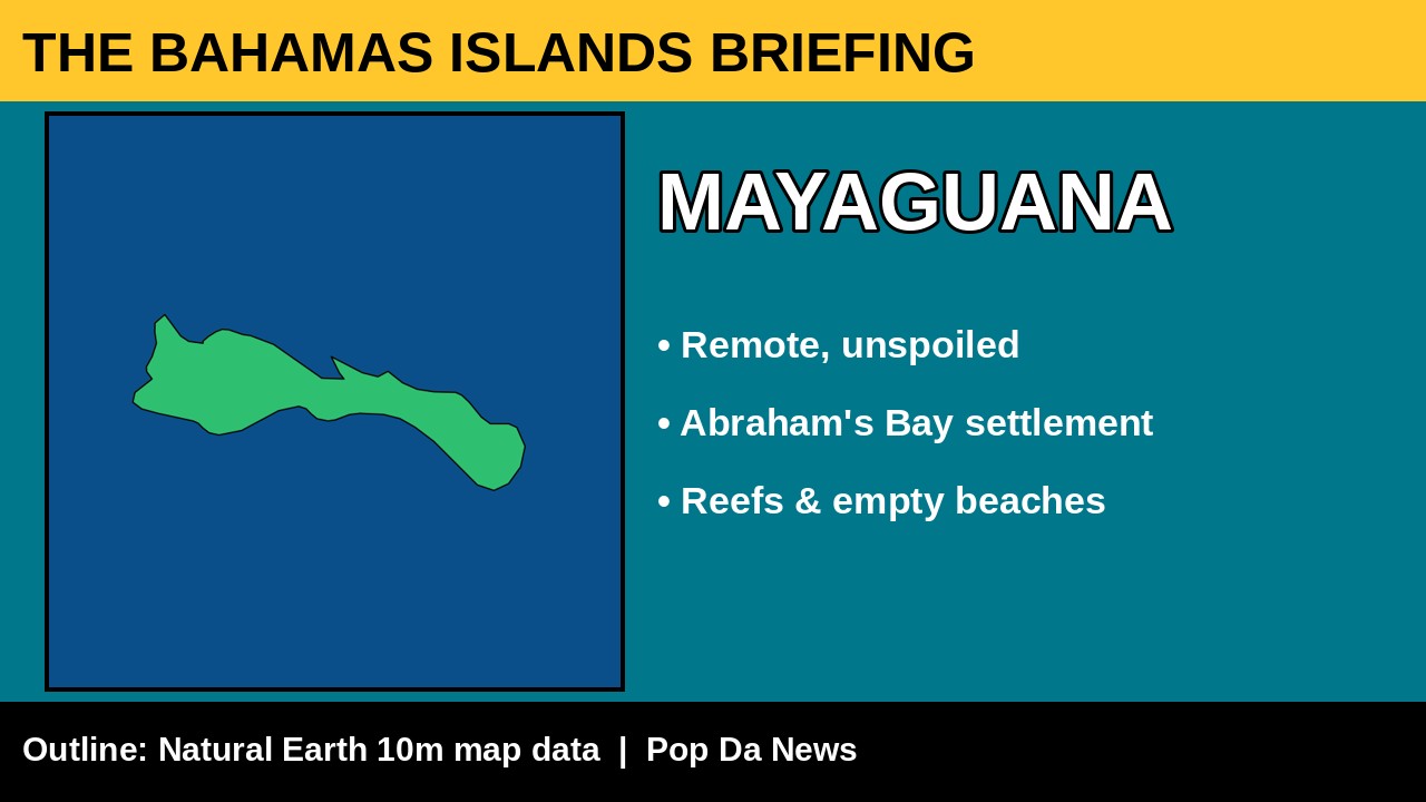
No fresh headlines from Mayaguana today, which says a lot about how little coverage these islands get. It is one of the most unspoiled islands in the country. The main settlement is Abraham’s Bay. Expect empty beaches, reef snorkelling and real quiet, and bring cash and supplies because services are limited.
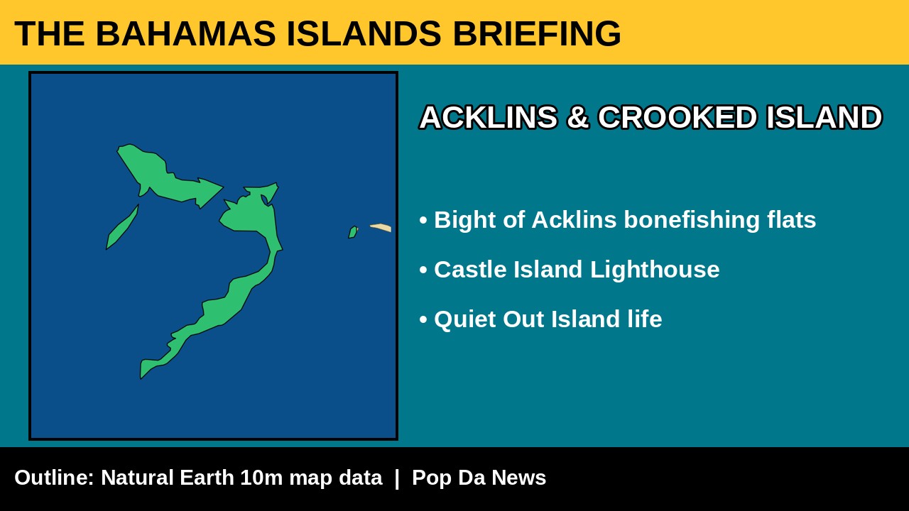
We found no new local headlines we could verify from Acklins and Crooked Island in the past day. For visitors, the Bight of Acklins is a huge shallow flat that is legendary for bonefishing, and the historic Castle Island Lighthouse stands off Acklins’ southern tip. The flats are very shallow, so local guides are the way to go.
Long Island: “How do we operate like this?”
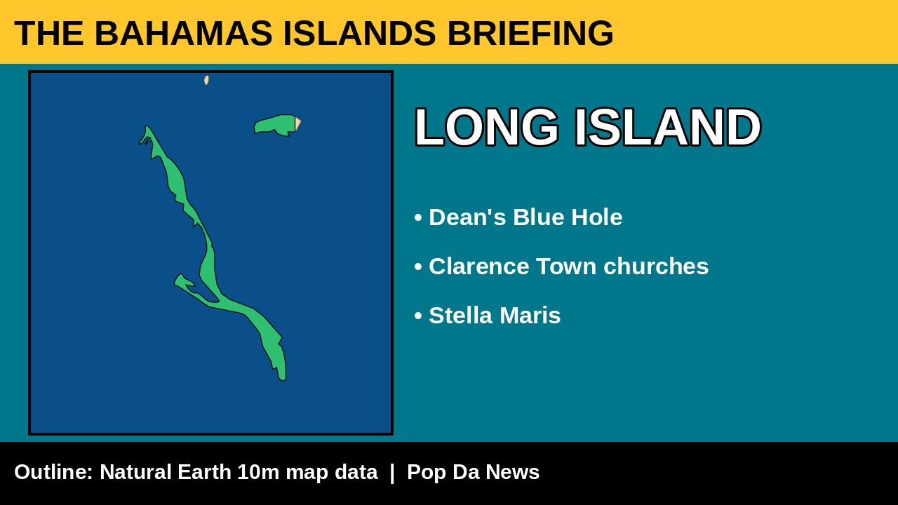
Here, there is news, and it is hurting people. Business owners are frustrated with unreliable mailboat service. The Nassau Guardian and Bahamas Latest reported on October 9 that at least five businesses did not receive their full orders that week.
Jill Smith, owner of Stella Maris Resort and Bonafide Bonefishing, said Stella Maris received only half of its order, and Bonafide Bonefishing received none.
How do we operate like this?Jill Smith, Stella Maris Resort and Bonafide Bonefishing
Erica Darville, owner of Erica’s Bakery in Clarence Town, said: “We never know when the boat is coming.” She warned that fresh produce can spoil before it even reaches the island.
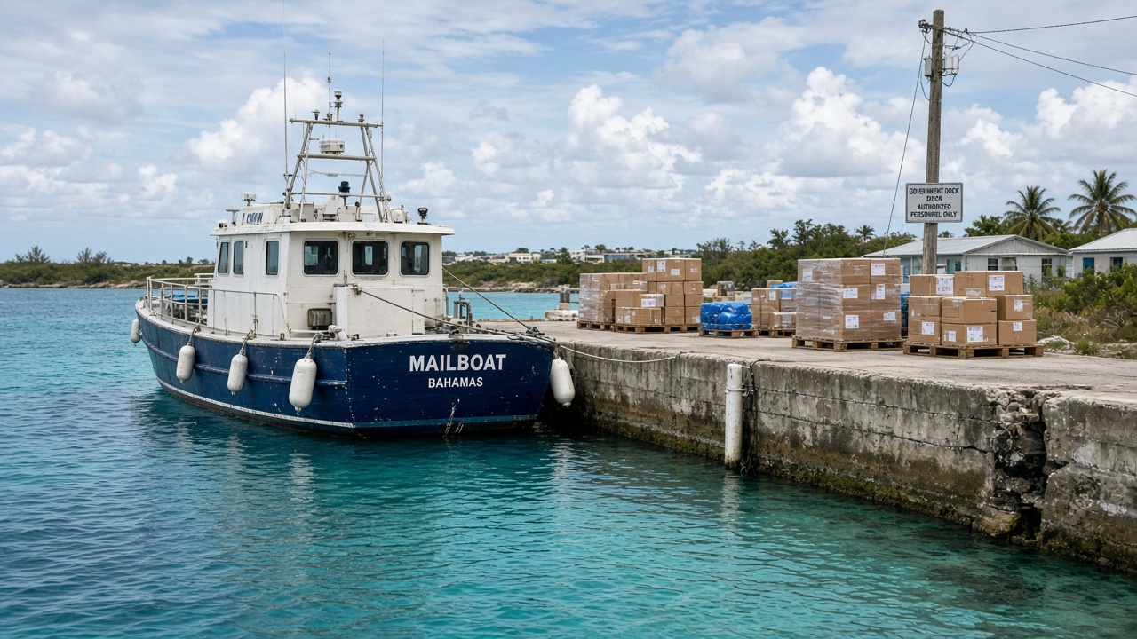
Long Island MP Andre Rollins raised the issue in Parliament, saying tourists come, order off the menu, and cannot eat. Transport Minister Leon Lundy said a vessel was en route to serve southern Long Island and promised more improvements soon.
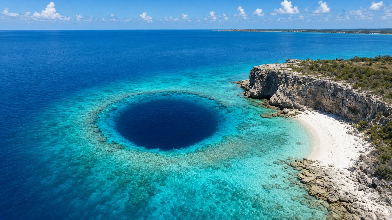
Long Island is worth the trip. Dean’s Blue Hole, near Clarence Town, is one of the deepest known blue holes in the world and hosts international freediving competitions. In Clarence Town, see the two churches built by Father Jerome, St. Paul’s and St. Peter’s. Stay at Stella Maris Resort in the north and fish with Bonafide Bonefishing. Supporting them right now really helps.
Ragged Island, Cat Island, San Salvador and Rum Cay
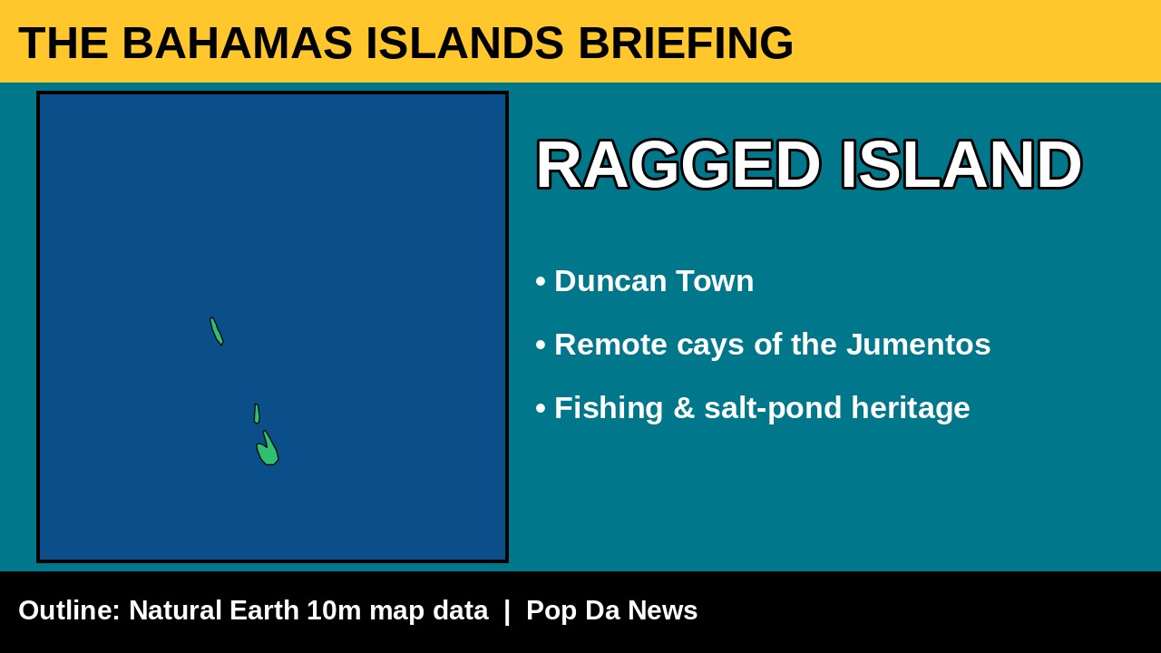
No new headlines from Ragged Island today. Its single settlement, Duncan Town, is a tight-knit fishing community on the edge of the Jumentos Cays. Cruising the Jumentos is true wilderness boating, so carry extra fuel, water and spare parts.
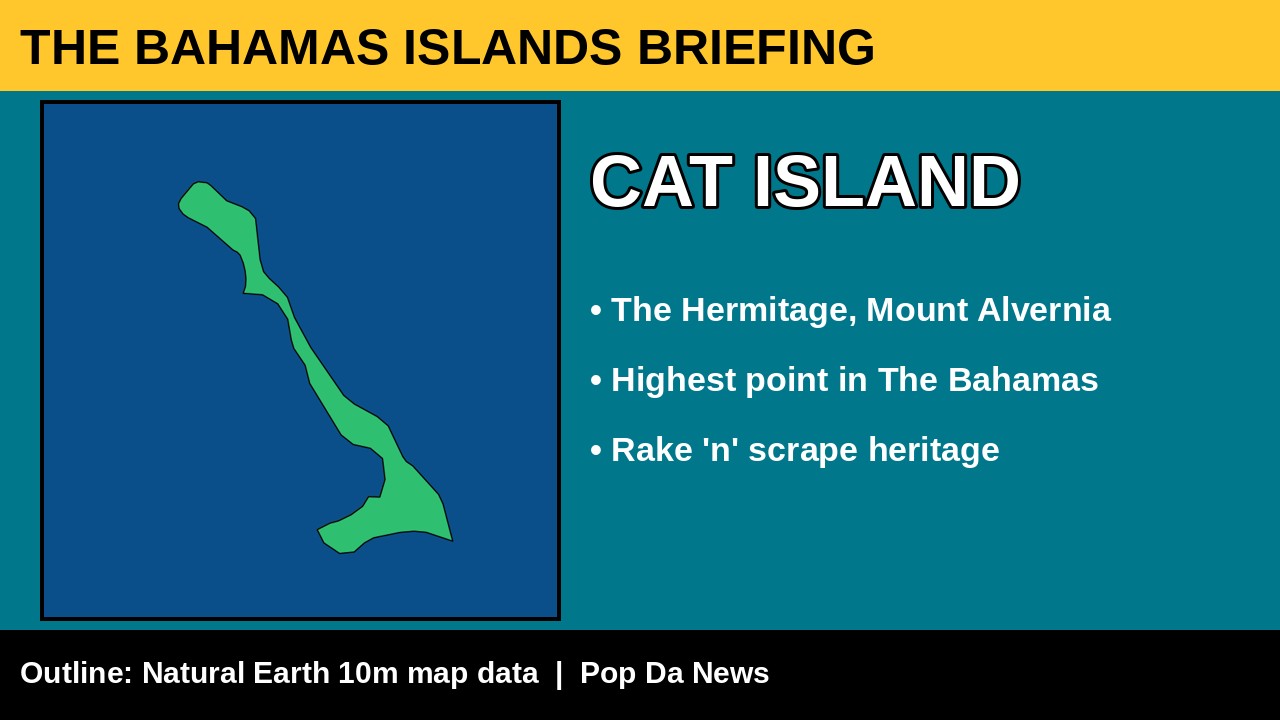
No new Cat Island headlines in the past day. The bigger story this year came in June, when Bahamasair returned to Arthur’s Town after more than 20 years, with twice-weekly flights from Nassau. Visit The Hermitage on Mount Alvernia, built by Father Jerome on what is recognised as the highest point in The Bahamas. The climb is short and the view is gorgeous.
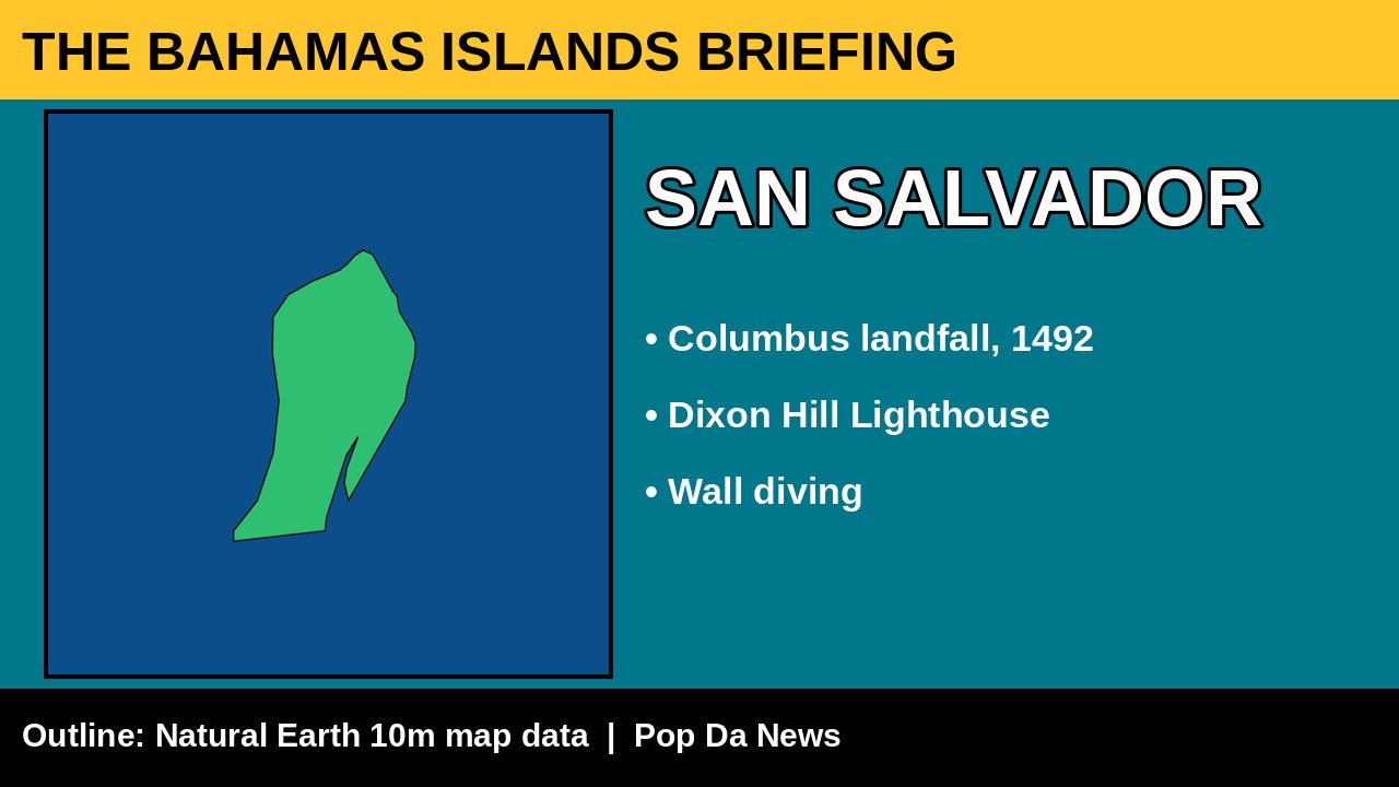
There are no new local headlines from San Salvador, but history happened here. Many historians believe it is where Christopher Columbus first made landfall in the Americas in 1492, and monuments mark the spot. Visitors love the Dixon Hill Lighthouse, the dramatic wall diving and Club Med Columbus Isle. Researchers come for the Gerace Research Centre.
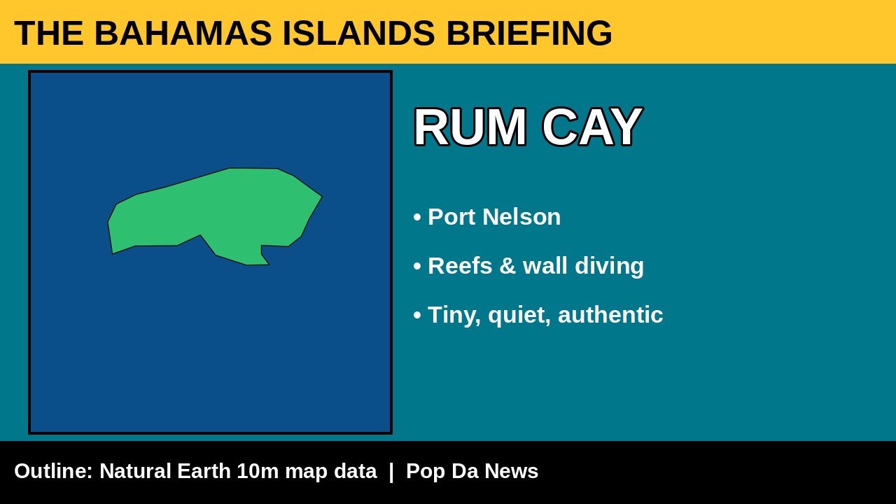
Tiny, quiet Rum Cay, whose settlement is Port Nelson, had no news today. Divers know it for its reefs and walls. Boaters should approach carefully: the reefs are no joke.
Next, in Part 3, we head north to Eleuthera and Harbour Island, Andros, the Berry Islands, Bimini and Abaco.
Related stories
GB Power Debt Warning, an Eleuthera Highway Crash, and a $285M Hospital Move Toward Construction
Overnight full briefing: Grand Bahama Chamber warns of up to about $412m in GB…
Empty Shelves on Long Island, Exuma’s Big Day Tomorrow, and a $700 Million Question in Nassau
The official morning edition of The Bahamas Islands Briefing: Exuma’s 20th Business Outlook is…
“You Already Took the Money”: Inside the Recruitment Playbook Targeting Struggling Bahamians
A new public-awareness briefing from Bahama Drama lays out the five-step pattern criminal crews…
Join the conversation
No comments yet. Be the first.